Delivery: All data products will be delivered within 3 business days after purchase (due to large datasets and processing requirements).
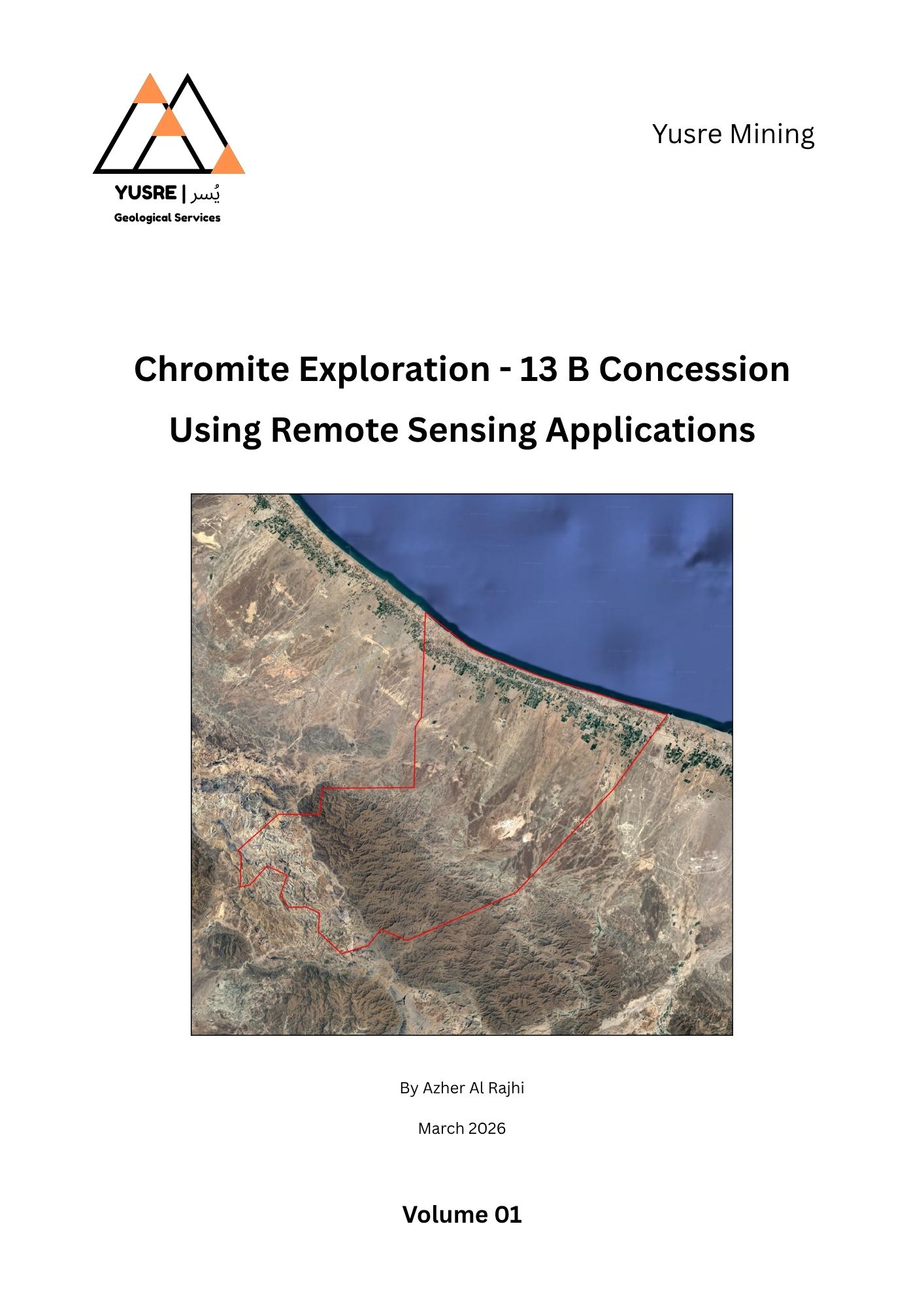
Explore the chromite and ultramafic potential of the Haylayn block with a comprehensive suite of geological and remote sensing products. This package integrates high-resolution mineral mapping, multispectral satellite imagery, and advanced index analysis to identify dunite bodies, serpentinized zones, and structurally controlled chromite targets within the Semail Ophiolite.
Included Data Products:
- Geological Map with Legend: High-resolution overview of lithology, mantle sequence, and structural framework.
- Lithology Images (Landsat 8, Sentinel-2, ASTER): False-color RGB composites, highlighting ultramafic rocks, mantle structures, and lithological boundaries.
- ASTER Olivine Index Map: High-resolution detection of olivine-rich zones and dunite cores within the mantle sequence.
- ASTER Serpentine Index Map: Identification of serpentinized zones near the Moho Transition Zone, indicating fluid pathways and alteration intensity.
- Sentinel-2 Olivine Proxy Map: Broad ultramafic envelope mapping, highlighting fresh and low-altered mantle lithologies.
- Chromite Target Map: Integrated high-confidence targets based on overlap of ASTER olivine cores and Sentinel-2 ultramafic zones, representing potential chromite-bearing dunite lenses.
- Full Report: Comprehensive geological interpretation, remote sensing methodology, and exploration targeting analysis.
This package provides a ready-to-use exploration toolkit for geologists, investors, and mining companies focused on chromite and ultramafic mineralization in Oman. By combining ASTER mineral indices, Sentinel-2 spatial continuity, and Landsat lithological context, the dataset enables efficient identification and prioritization of high-potential dunite bodies and chromite targets for further field investigation.
For further details, contact us:
contact@yusremining.com
+968 94920377