Package Includes
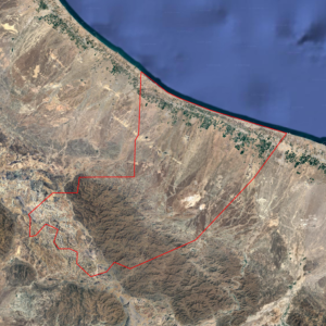
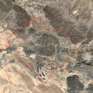
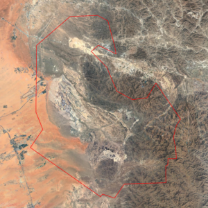
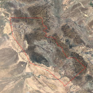
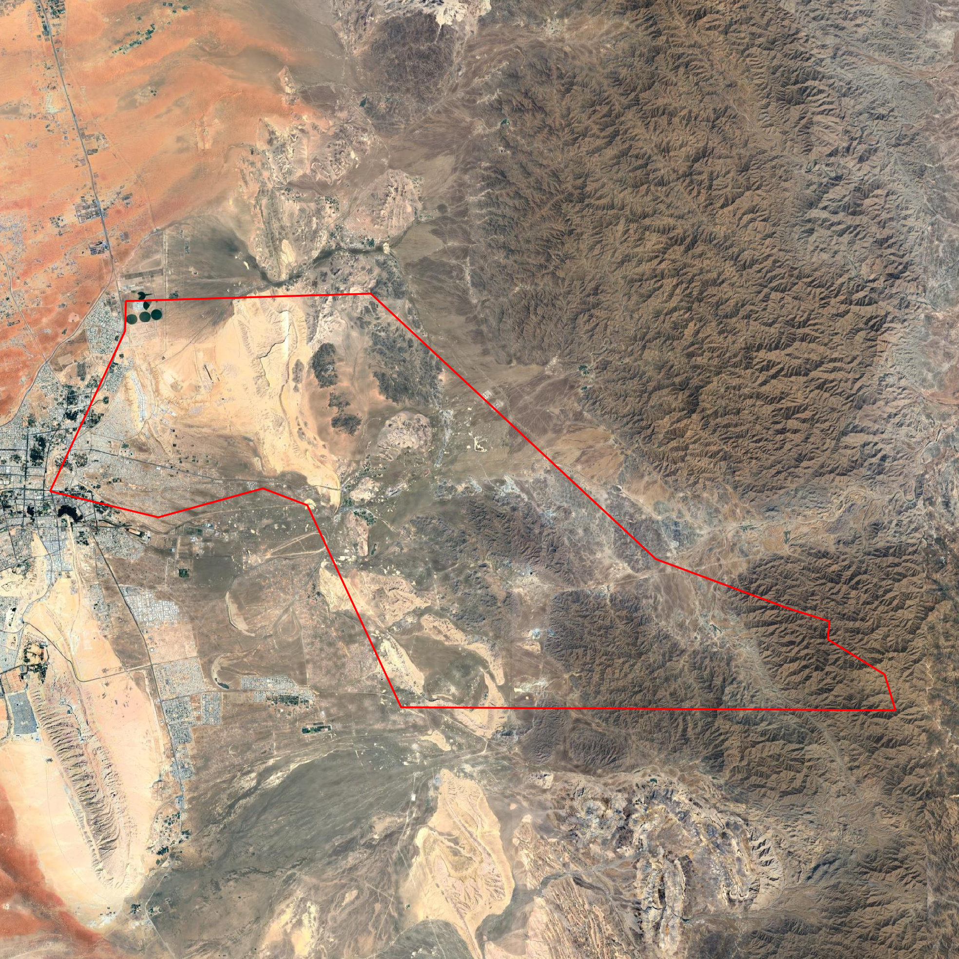
The concession boundary is illustrated in the preview image. The dataset includes the following high-resolution maps:
• Geological Map with complete legend (TIFF & PNG)
• Lithology Map derived from ASTER remote sensing (TIFF & PNG)
• Lithology Map derived from Landsat-8 remote sensing (TIFF & PNG)
• Lithology Map derived from Sentinel-2 remote sensing (TIFF & PNG)
Coordinate System: EPSG:4326 – WGS 84